

High-Resolution
Site Characterization

What we deploy, for whom, and what it delivers
We deploy advanced tools to log continuous lithologic, hydraulic, and contaminant response in the subsurface, and deliver the data in real time.
For environmental consultants with projects at all scales, from initial screening to large complex sites, HRSC can benefit your investigation.
We deliver defensible 3D conceptual site models, and the clear, actionable insights you need to move forward with confidence.
HRSC logging
Every log is generated from thousands of data points.
Learn more: HRSC loggingOIHPT
Optical Image Profiler with Hydraulic Profiling Tool
Tap the log chart to see what it shows.Hover over the log chart to see what it shows.
Project dashboard
Watch your investigation take shape live, from any browser.
Learn more: Project dashboard
Overview: the site map switches from field status to peak fluorescence, then opens as the full map.
- Footage, borings and field days to date
- Every boring in one sortable list
- Updated field status and files
- Peak response for every boring
Map: boring OIHPT-05 is picked on the peak response plot, its details open, and it opens in the log viewer.
- Status and data-view symbology
- Interactive data analysis with spatial context
- Click-to-inspect borehole popups
- Depth-interval filtering across the site
Logs: OIHPT-05 with its scales locked, then compared with OIHPT-06 on the same tracks.
- Updated from the field
- Compare multiple logs
- Contaminant, lithologic, and hydraulic data together
- Continuous readings the length of the hole
Deliverables: the OIHPT-05 field log is previewed, then downloaded.
- Field logs, maps, models and data
- Posted straight from the field
- Single file or whole-folder downloads
- Search by file or borehole ID
Live feed: the acquisition screen streamed from the field, its logs and readouts updating as the tool advances.
- Live view while drilling is under way
- Field decisions while the crew is on site
- No installs or plugins
- Oversight without being on site
3D Modeling
We transform raw data into 3D site models.
Learn more: 3D Modeling
Drag to rotate the model, or select a feature to see what it shows.
The site’s own aerial imagery, georeferenced so everything modeled below it lines up with what is on the ground.
One push, drawn at its surveyed position and colored down its whole length by the response measured at each depth.
A surface drawn around the volume where screening response exceeds the level chosen for the site.
HPT injection pressure interpolated between locations, drawn as vertical slices: blue is low pressure, where the soil takes water easily, and dark is high pressure, where it does not.
The same screening data in plan view, contoured to show the footprint of the response across the site.
What GeoImaging adds to your investigation.
Define the problem more clearly
Continuous vertical contaminant screening across multiple locations identifies likely source areas and maps the distribution of impacts at higher spatial resolution.
Understand what is driving the site
View contaminant, lithologic, and hydraulic data together to understand where contaminant mass is retained, how it moves, and what controls both.
Make the expensive work count
Use clearer subsurface evidence to target confirmation sampling and select well locations, screen intervals, and injection points.
Adapt the field program in real time
Adjust investigation locations, step-outs, and sampling intervals as results arrive, while the crew and equipment are still on site.
Refine the conceptual site model
HRSC’s measurement density improves interpolation between locations and makes a better-resolved 3D model possible.
Avoid costly wrong turns
Reduce subsurface uncertainty before committing to further investigation, a remedial approach, or permanent infrastructure.
Where we work
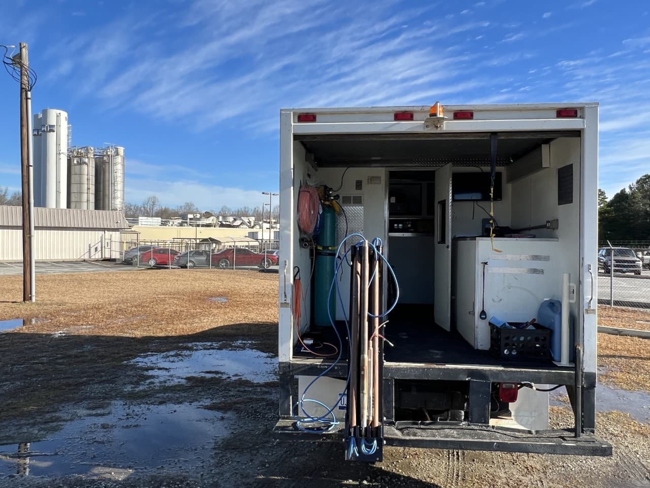
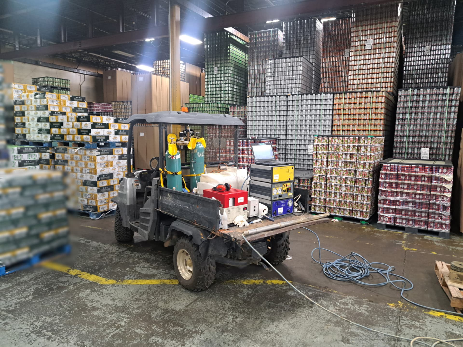
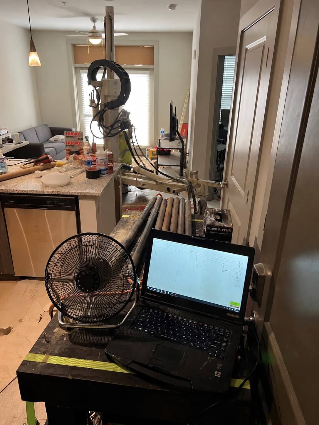
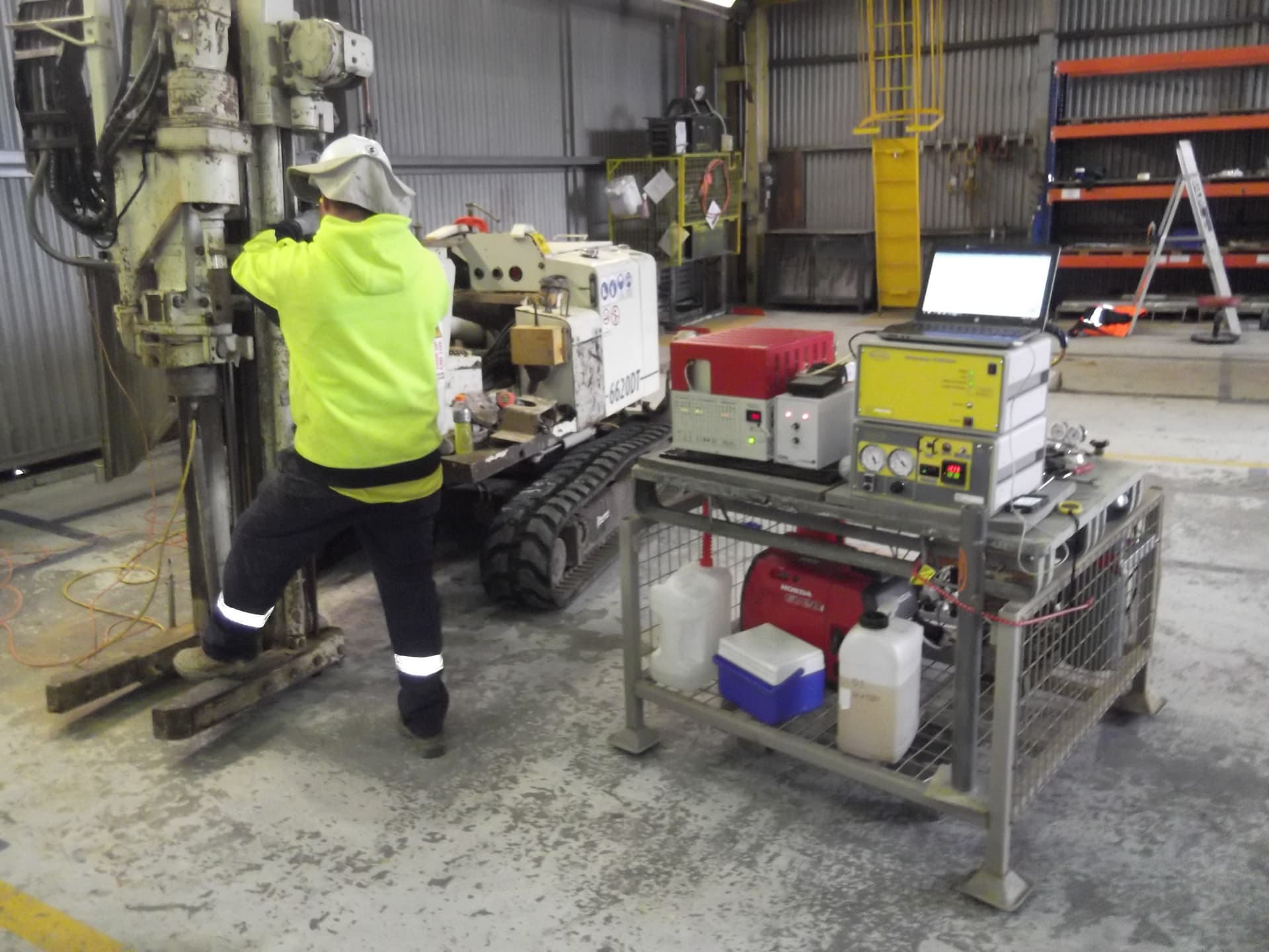
Our crews mobilize worldwide when a project calls for it. The map shows recent U.S. work without identifying confidential project sites. The setting changes. Our standard does not.
45,000+ ft logged across 12 states
- Recent project sites
- Where our team is based
- Greenville, SC · Atlanta, GA
High-resolution subsurface data, delivered in real time.

Dave Heicher
Founder & HRSC Expert
A geologist with over 30 years in the environmental industry, Dave has spent more than two decades operating HRSC tools and managing complex site characterization investigations.

Kevin Van De Vusse
HRSC Expert
An engineer with nearly three decades of hands-on experience with HRSC, direct-push, and cone penetrometer technologies.
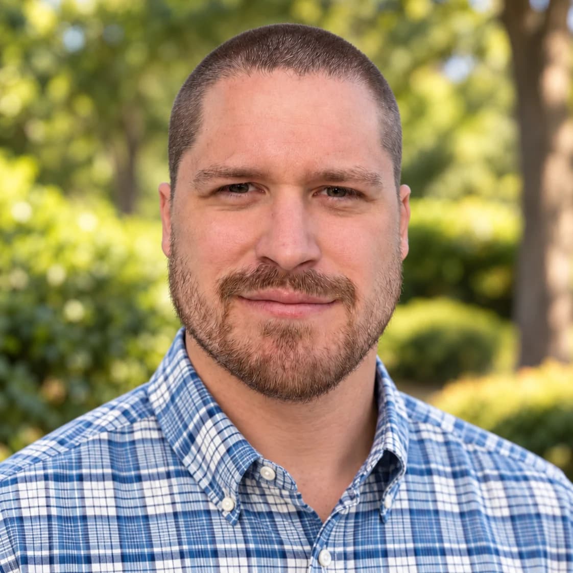
Griffin Collins
Hydrogeologist / HRSC Specialist
A geologist with a background in environmental consulting, Griffin operates HRSC equipment and leads the development of GeoImaging's real-time data platform and GIS mapping capabilities.